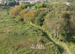
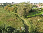
Land Survey-4
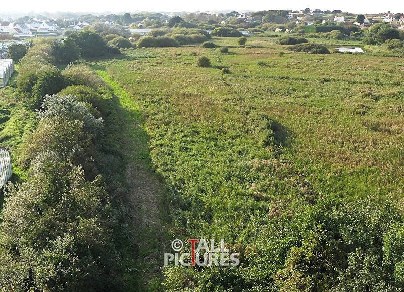
Picture By Andrew Le Poidevin | Tallpictures. Elevated photography provides a competitive and convenient way to produce Land and Boundary Surveys.
The 26 metre mast that is used to photograph from enables a survey to be completed without the use of ladders, scaffolding or a Cherry Picker. Great detail can be captured and recorded in a digital file for future reference.
The 26 metre mast that is used to photograph from enables a survey to be completed without the use of ladders, scaffolding or a Cherry Picker. Great detail can be captured and recorded in a digital file for future reference.
|